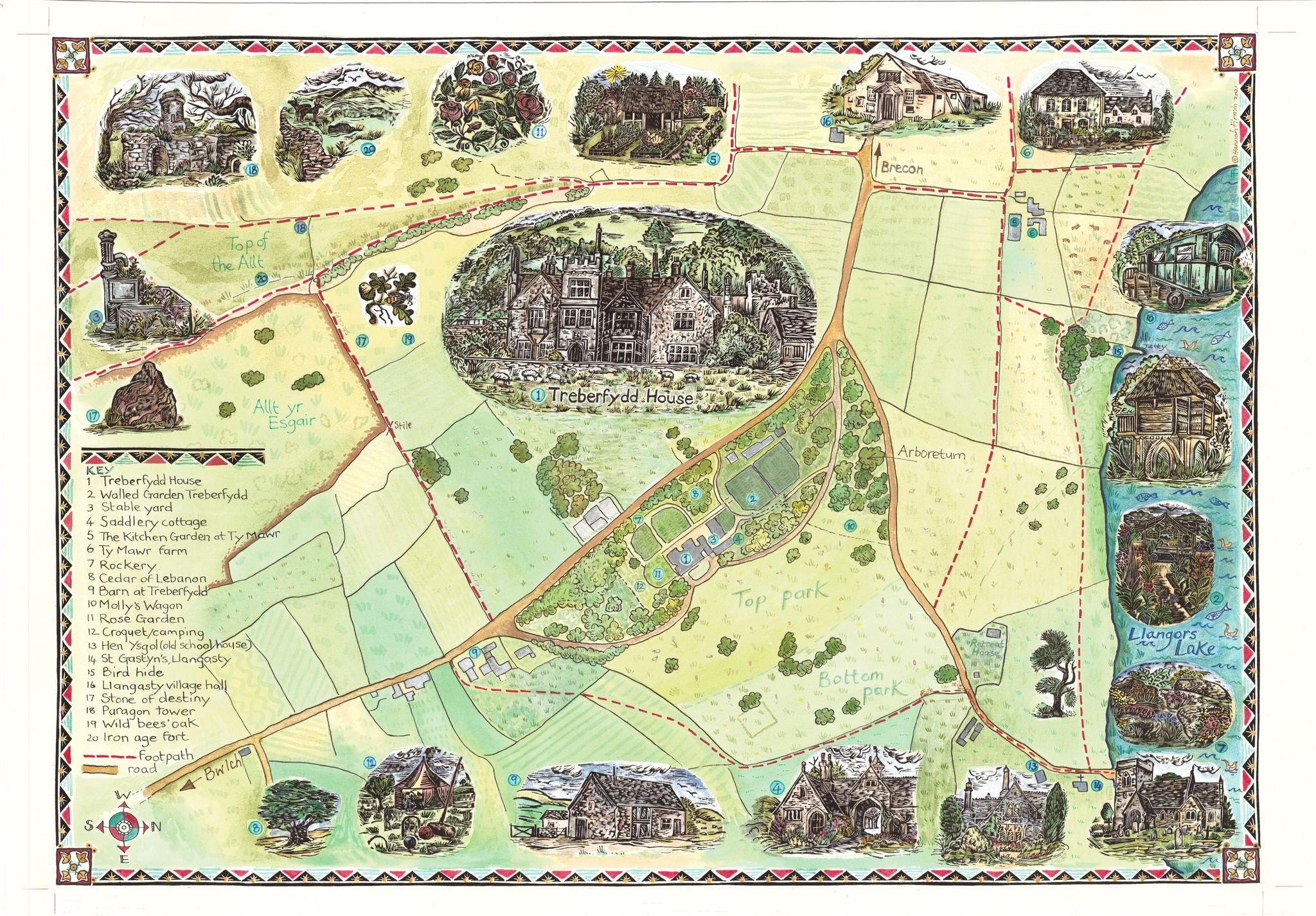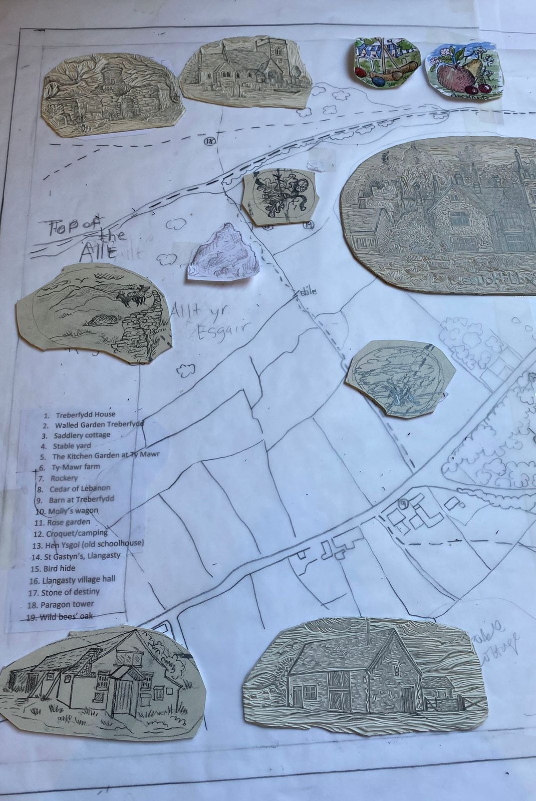
Illustrated map
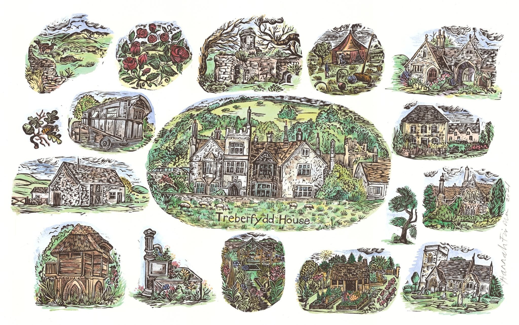
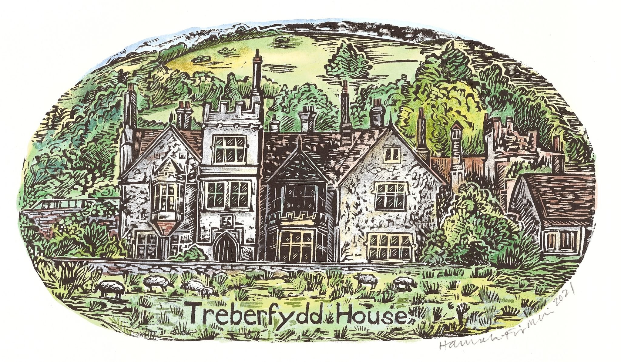
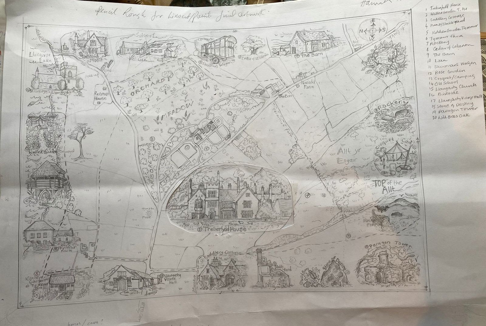
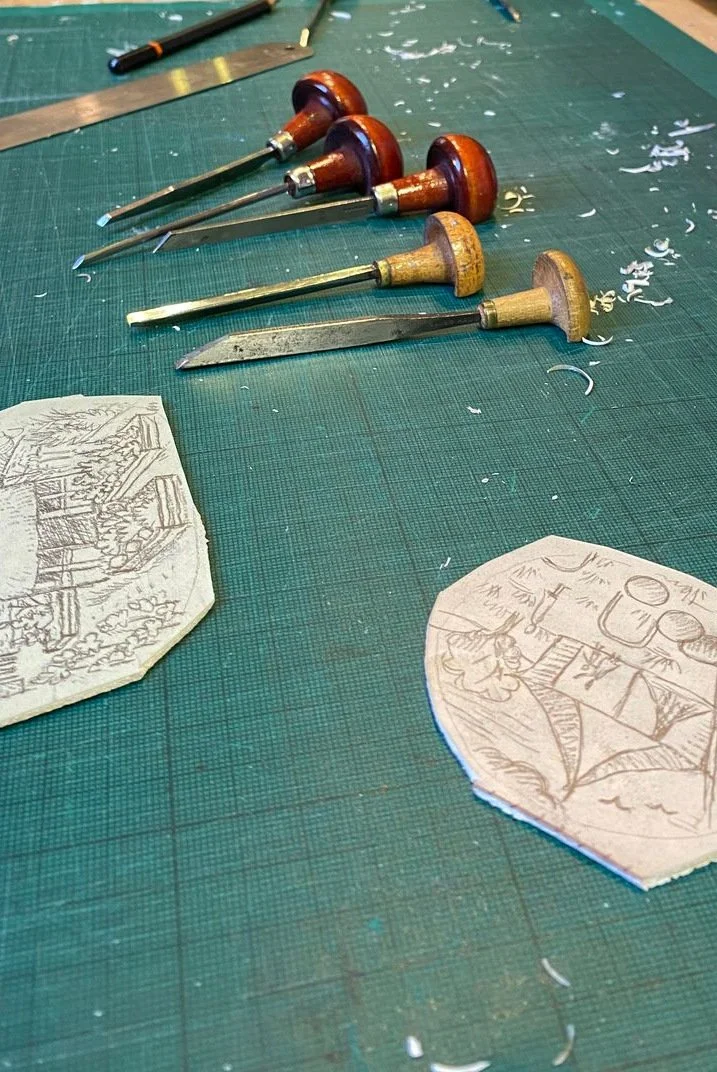
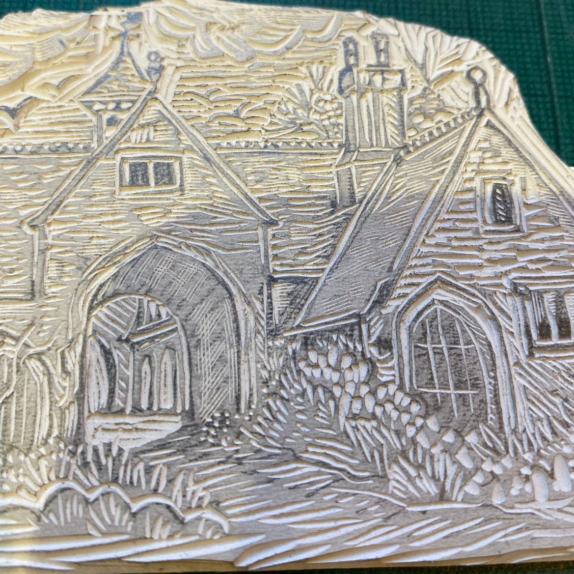
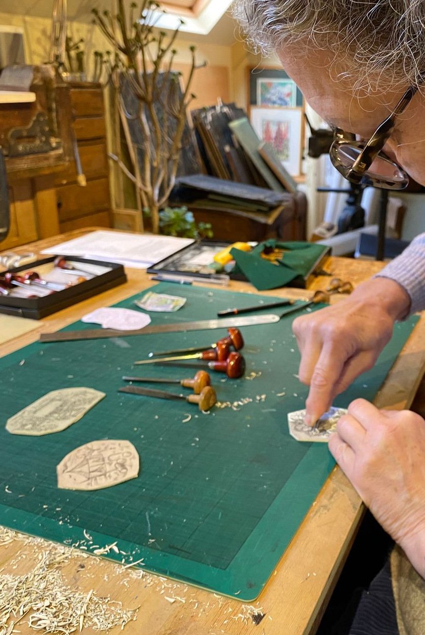
Back in autumn 2021, we commissioned the illustrator and printmaker Hannah Firmin to create an illustrated map of Treberfydd estate and the surrounding area. Starting with pencil sketches and using an Ordnance Survey map as a reference, she produced beautifully intricate, hand-coloured vinyl cuts of key features.
These run along the border of the map, and we added a key to help identify them. Hannah is based in her studio above Llangynidr, not far from Treberfydd, and it was great fun to drop in and see the map evolving. We love the result!
It’s for guests to use as a guide, with public footpaths marked down to Llangorse lake and up to the Allt, and points of interest in the gardens and beyond. There are framed prints in the Barn and Saddlery cottage, and each booking (including Molly’s Wagon) will have a paper copy to keep.